Ground Stations (LUTs)
Ground station (LUT) antennas provide the connection between the satellites and the MCCs
Local User Terminals
Cospas-Sarsat ground stations are called Local User Terminals (LUTs). These LUTS are specifically designed computer stations with designated antennas that are used to catch satellite downlink signals. The LUTs then process the signals received from the satellites and calculate the location of a 406 distress beacon alert. Once that signal is received and processed, the information is transmitted to the mission control center (MCC) that operates that particular LUT. The LUTs are fully automated and completely unmanned at all times.
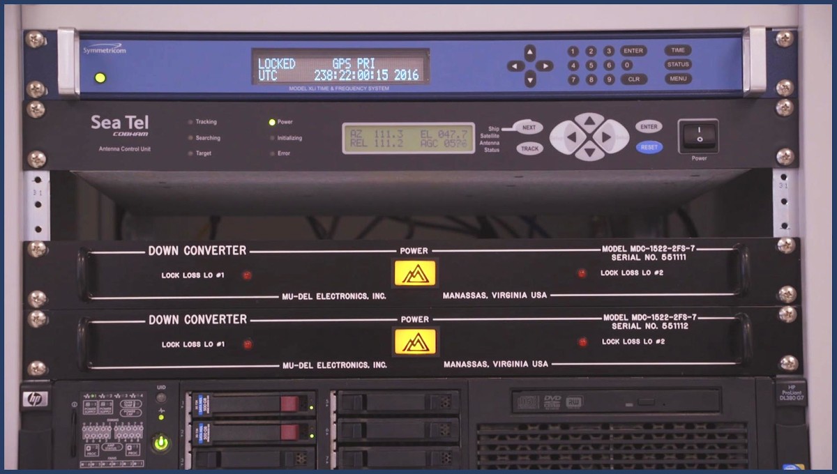
Image courtesy of Cospas-Sarsat
The type of processing equipment typically found in a MEOLUT
Image courtesy of Cospas-Sarsat
Phased Array technology takes a different approach to communication with satellites
NOAA manages and operates three-types of LUTs. Low Earth Orbit LUTs (LEOLUTs), Medium Earth Orbiting LUTs (MEOLUTs) and Geostationary Earth Orbit LUTs (GEOLUTs) – All these LUTs are configured to track, receive, and process alerts from 406 distress beacons.
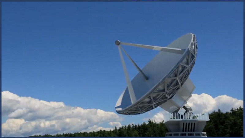
Image courtesy of Cospas-Sarsat
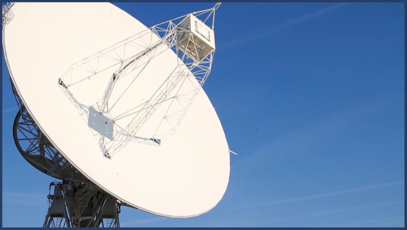
LEOLUT Satellite dishes are pre-programmed to move to pick up a LEOSAR satellite signal as the satellite passes overhead.
Low Earth Orbit LUTs (LEOLUTs)
Each LEOLUT usually consists of a tracking-enabled antenna, a processor, and communications equipment. LEOLUTs track, receive and process alerts from the LEOSAR satellites operated by NOAA as well as other countries. When not within view of a LEOLUT, LEO satellites store the beacon distress signal information onboard until it comes into visual contact with the next LEOLUT. Then it downloads the stored information.
In the U.S., dual LEOLUTs are located at:
- Andersen Air Force Base (AFB), Guam
- USCG Communications Station, Hawaii
- NOAA Command and Data Acquisition Station, Alaska
- USCG Communications Station, Florida
Dual LEOLUTs at each site allow NOAA to resolve satellite tracking conflicts and provides redundancy in case of failure.
Click here to see a map of the LEOLUT locations around the world.
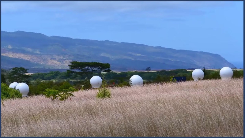
Six MEOLUTs are considered the ideal combination to track MEOSAR satellites for fast signal detection, and location accuracy. The six dome-shaped MEOLUTS in the image above are really just shells called radomes with regular satellite dishes inside. They are designed to protect the satellite dishes from bad weather and at the same time allow satellite signals to be received without blockage or distortion.
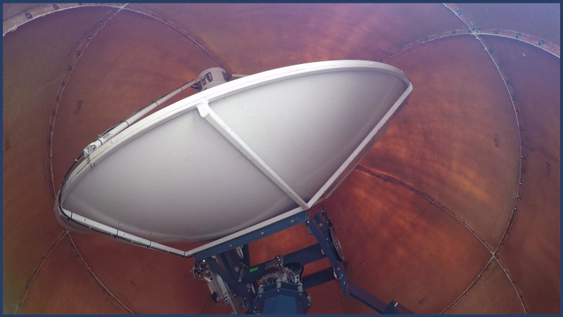
Image courtesy of Cospas-Sarsat
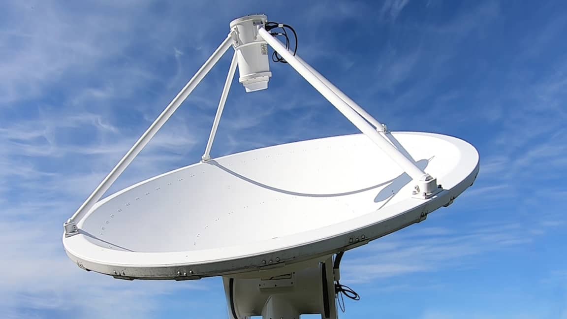
The actual MEOLUT antenna can be seen here inside the protective radome shell.
Medium Earth Orbit LUTs (MEOLUTs)
MEOLUTs track, receive and process alerts from the SAR payloads on U.S. GPS satellites as well as European Union Galileo satellites and Russian Federation GLONASS satellites. The ideal satellite dish configuration for MEOLUTs is six dishes.
In the U.S., six channel MEOLUTs are located at:
- USCG Communications Station, Hawaii
- USCG Communications Station, Florida
Geostationary, as the name implies, means the GEOLUT satellite dish remains fixed in place, creating a constant connection with the GEOSAR satellite that is locked in synchronous motion with the earth.